Search Term Record
Metadata
Search Term |
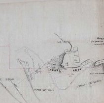
Le Roi Mine |
Number of Object records |
7 |
Number of Archive records |
90 |
Related Records
-

-
-
-
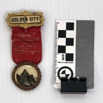
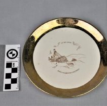
1978.989.2 - Ribbon, Membership
Independent Order of the Odd Fellows membership badge, 1904
Record Type: Object
-
-
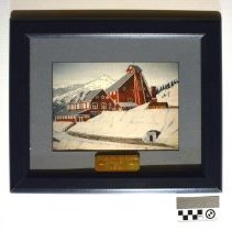
2002.8.1 - Print
Print of Lois C. Winlaw's painting "The LeRoi Mine, Red Mountain Rossland B.C. 1890’s".
Record Type: Object
-
-
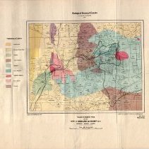
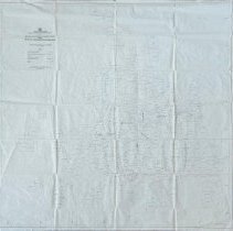
A1996.34.1 - Map
Geological map of the Rossland area produced by the Geological Survey of Canada in 1906.
Record Type: Archive
-
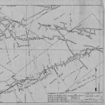
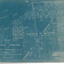
A1998.15.1 - Map
Map of some of the claims in the Rossland mining camp showing veins and development. Produced by the B.C. Ministry of Energy, Mines, and Petroleum Resources.
Record Type: Archive
-
-
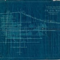
A2020.000.112 - Map
Map with projections of the properties in the Consolidated Mining & Smelting Co. of Canada and Le Roi No. 2 right of way agreement.
Record Type: Archive
-
-
-
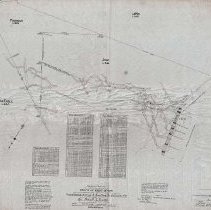
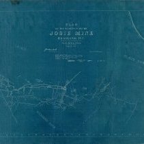
A2020.000.128 - Drawing, Technical
Projection drawing of the underground development at the Josie Mine - 1901.
Record Type: Archive
-
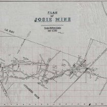
A2020.000.129 - Drawing, Technical
Projection of the Josie Mine's underground development - 1902.
Record Type: Archive
-
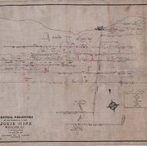
A2020.000.134 - Drawing, Technical
Vertical projection of the Josie Mine - 1918.
Record Type: Archive
-
-
-
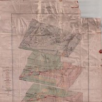
A2020.000.208 - Drawing, Technical
Stereograms of a Block of Ore - Bearing Country Rossland, B.C. produced by Canada Department of Mines - 1915.
Record Type: Archive
-
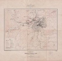
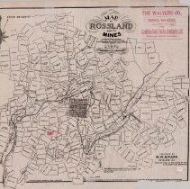
A2020.000.209 - Map
Topographical Sheet Rossland Mining Camp British Columbia produced by Canada Department of Mines - 1906.
Record Type: Archive