Search Term Record
Metadata
Search Term |
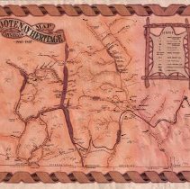
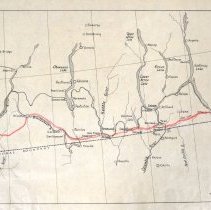
Dewdney Trail |
Number of Object records |
0 |
Number of Archive records |
13 |
Related Records
-
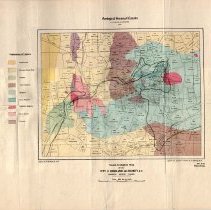
A1996.34.1 - Map
Geological map of the Rossland area produced by the Geological Survey of Canada in 1906.
Record Type: Archive
-
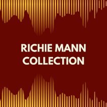
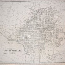
A2019.023 - Collection
Textual, photographic, and film records of Richard "Richie" Harvey Mann from 1935 to 2018. The Collection includes maps, photographs, films, essays, and notes.
Record Type: Archive
-
-
-
-
-
-
-
-
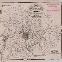
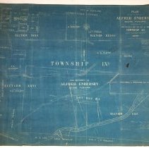
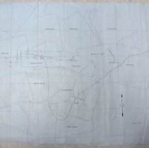
A2021.000.001.046 - Map
Mining claim map showing underground development at the Homestake Mine.
Record Type: Archive
-
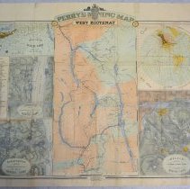
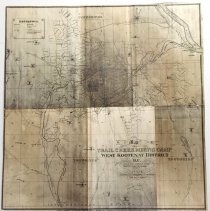
A2021.000.001.050 - Map
Perry's Mining Map of the Southern Dist. West Kootenay.
Record Type: Archive