Search Term Record
Metadata
Search Term |
Black Bear Mine |
Number of Object records |
0 |
Number of Archive records |
55 |
Related Records
-
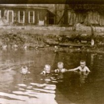
A1984.001.001 - Photograph
Sepia-toned photograph of four children swimming in the swimming hole/pond at the Black Bear Mine, circa 1920s.
Record Type: Photo
-
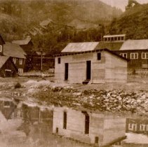
A1984.001.002 - Photograph
Sepia-toned photograph of the change rooms for the swimming hole at the Black Bear Mine, circa 1929.
Record Type: Photo
-
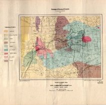
A1996.34.1 - Map
Geological map of the Rossland area produced by the Geological Survey of Canada in 1906.
Record Type: Archive
-
-
-
-
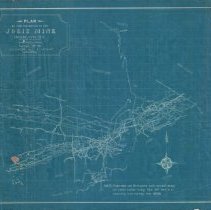
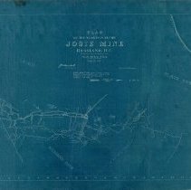
A2020.000.128 - Drawing, Technical
Projection drawing of the underground development at the Josie Mine - 1901.
Record Type: Archive
-
-
-
-
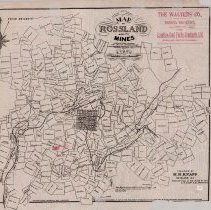
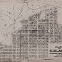
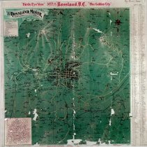
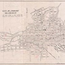
A2020.000.187 - Map
Map of the City of Rossland and the surrounding mining claims.
Record Type: Archive
-
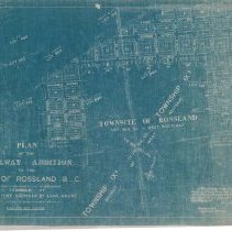
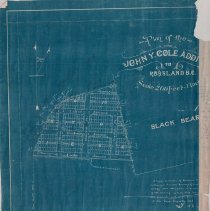
A2020.000.190 - Plan, Site
Site plan of the John Y Cole addition in Rossland, BC.
Record Type: Archive
-
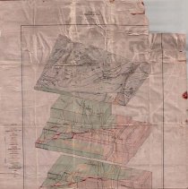
A2020.000.208 - Drawing, Technical
Stereograms of a Block of Ore - Bearing Country Rossland, B.C. produced by Canada Department of Mines - 1915.
Record Type: Archive
-
-
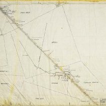
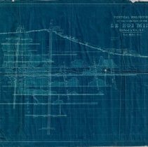
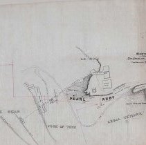
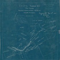
A2020.000.234 - Plan
Blueprint plan showing the placement of Columbia & Western Railway and a proposed extension between the Centre Star and Le Roi Mines.
Record Type: Archive
-
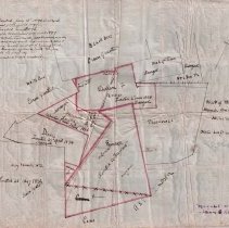
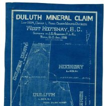
A2020.000.24 - Map
Small mining claim map featuring the Duluth, Superior, Noonday, and Golden Dawn claims. There is a key map of Rossland with mining claims at the bottom.
Record Type: Archive
-
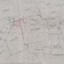
A2020.000.248 - Map
Map of the City of Rossland, with handwritten mining claims and places of note.
Record Type: Archive
-
-
-