Search Term Record
Metadata
Search Term |
Canadian Pacific Railway |
Number of Object records |
0 |
Number of Archive records |
40 |
Related Records
-
-
A1994.003 - Collection
Textual and photographic records of the Rossland City Band from 1938 until 1962. The Collection includes minutes, correspondence, financial records, ephemera, and photographs.
Record Type: Archive

-
A2018.022 - Fonds
Textual records of George Coop from 1900 to 1983. The Fonds includes publications, drawings, and photographs.
Record Type: Archive

-
A2020.000 - Collection
Large format maps and drawings from 1890s to the 1990s. The Collection contains the following themes Mining, Surveys, Rossland City Maps, Rossland Railways, Fire Insurence, Miners' Union Hall, Building Plans, and Provincial/National Maps.
Record Type: Archive

-
-
-
-
A2020.000.233 - Drawing, Architectural
Blueprint architectural drawing of a CPR water tower.
Record Type: Archive

-
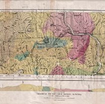
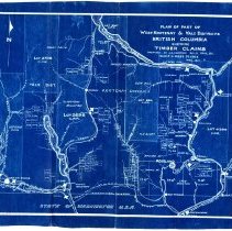
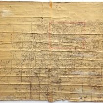
A2020.000.248 - Map
Map of the City of Rossland, with handwritten mining claims and places of note.
Record Type: Archive
-
-
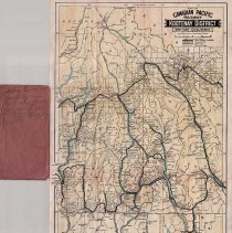
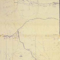
A2020.000.258 - Map
Map of Canadian Pacific Railway Kootenay District British Columbia - 1917.
Record Type: Archive
-
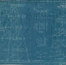
A2020.000.259 - Drawing, Architectural
Blueprint architectural drawing of a C.P.R. Standard High Trestle.
Record Type: Archive
-
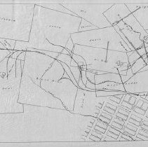
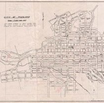
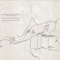
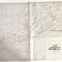
A2020.000.261 - Plan, Site
Railway Trackage within the City Boundaries City of Rossland, B.C.
Record Type: Archive
-
A2020.000.262 - Map
Blueprint map of Grand Forks and the surrounding area showing the West Kootenay Power & Light Company power lines.
Record Type: Archive
-
-
A2020.000.309 - Map
Map of BC from the international border to the Arrow Lakes.
Record Type: Archive
-
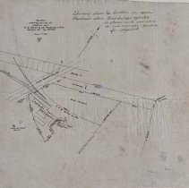
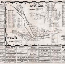
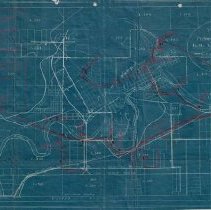
A2020.000.330 - Map
A map that shows various railways and land lots in and around Rossland B.C.
Record Type: Archive
-
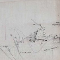
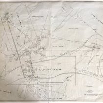
A2020.000.345 - Map
Map showing the surface facilities on the War Eagle and Centre Star mines.
Record Type: Archive
-
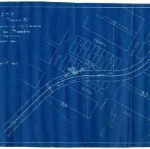
A2020.000.36 - Map
Small blueprint map showing the position of the C.P.R. Wall & Shacks in Block 36 of Rossland.
Record Type: Archive
-