Search Term Record
Metadata
Search Term |
Tip Top Mining Claim |
Number of Object records |
0 |
Number of Archive records |
7 |
Related Records
-
-
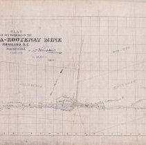
A2020.000.140 - Drawing, Technical
Projection drawing of the underground development of the Columbia-Kootenay Mine.
Record Type: Archive
-
-
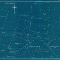
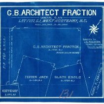
A2020.000.8 - Map
Small claim map of the G.B. Architect Fraction and surrounding claims.
Record Type: Archive
-
-
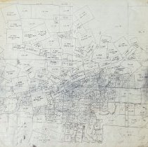
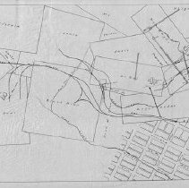
A2021.000.001.028 - Map
Map of the mining claims in the immediate Rossland area.
Record Type: Archive