Search Term Record
Metadata
Search Term |
Pilgrim Mining Claim |
Number of Object records |
0 |
Number of Archive records |
15 |
Related Records
-
-
-
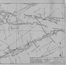
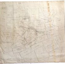
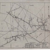
A2020.000.307 - Map
Binder containing 39 maps detailing the War Eagle 6th and 7th levels.
Record Type: Archive
-
-
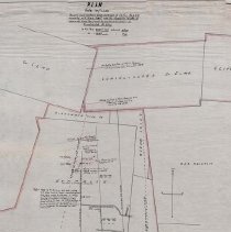
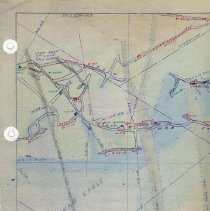
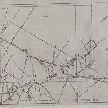
A2020.000.510 - Plan
Binder of 24 mine level maps and 25 accompanying assay sheets detailing the 2nd level of the Centre Star Mine.
Record Type: Archive
-
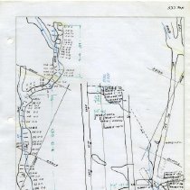
A2020.000.511 - Map
Binder of 22 mine level maps and 24 accompanying assay sheets detailing the 3rd level of the Centre Star Mine.
Record Type: Archive
-
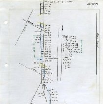
A2020.000.512 - Map
Binder of 29 mine level maps and 35 accompanying assay sheets detailing the 4th level of the Centre Star Mine.
Record Type: Archive
-
A2020.000.519 - Map
A binder containing maps and stope records pertaining to the 5th level of the War Eagle Mine.
Record Type: Archive
-
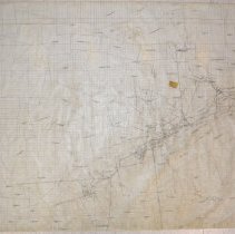
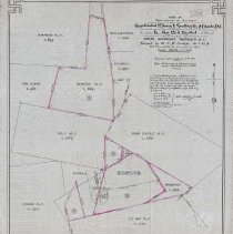
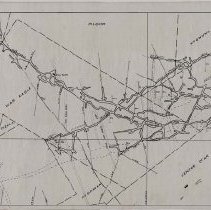
A2020.000.67 - Map
Mining claim map showing the settlement area between Consolidated Mining & Smelting Co. of Canada and Le Roi No. 2.
Record Type: Archive
-
-
-
-
-
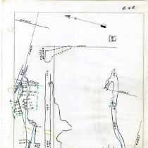
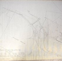
A2021.000.001.031 - Map
Fire insurance map of the CM&S properties in Rossland, BC.
Record Type: Archive
-